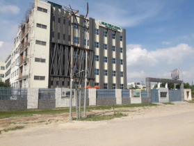
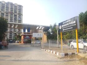
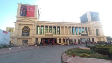
Ghaziabad has emerged as a key growth corridor in NCR, courtesy Uttar Pradesh government's rapid infrastructural developments and its proximity to national capital. Looking at the city's potential, the Ghaziabad Development Authority (GDA) has given the approval on Ghaziabad Master Plan 2031 on September 6, 2024. The initiative focuses on structured development and efficient use of available resources along Loni, Modinagar and Muradnagar.
Spread across nearly 32,300 hectares, the unified Master Plan 2031 will boost not just residential and commercial growth, but job prospects in the region, as well. The article below explains the detailed timeline, key highlights, land use, and map of Ghaziabad master plan 2031.
Ghaziabad Master Plan 2031: Key highlights
The unified Ghaziabad Master Plan 2031 received the green signal during a meeting held in Meerut on September 6, 2024. However, the draft of the Ghaziabad Master Plan 2031 was initially rejected four times by GDA due to public feedback issues with green belt designations and the incorporation of trans-oriented development (TOD) zones in Ghaziabad. All these issues, including 72 grievances, have now been addressed, and the plan currently awaits the State government’s final approval. Let us take a closer look at its key details:
- The master plan is drafted to prepare the city for urban expansion and an estimated population of 48 lakh by 2031.
- The plan covers an overall developed area of 33,543.1 hectares, including Ghaziabad, Loni, and Modinagar and Muradnagar.
- A Special Development Area (SAD) of 909.82 hectares will be developed around the Duhai Regional Rapid Transit System (RRTS) depot.
- The plan includes a TOD zone along the 1.5 km-long rapid rail, covering 4,261.43 hectares, and another TOD zone along the Red Line and Blue Line metro corridors, spanning 616.61 hectares.
- In areas designated as TOD and SDA zones, the Floor Area Ratio (FAR) has been increased from 1.5 to 5 to promote higher residential and commercial growth.
- The TOD zones will be located along the Red and Blue Lines of the Ghaziabad Metro and will cover 500 meters on both sides of the metro line routes. The plots available can be used for both residential and commercial purposes. The Red Line will cover 482.63 hectares, while the Blue Line will span 153.98 hectares.
- The development of a 100-acre logistics hub in Dasna and Loni is also being planned.
- The 'record of right' clause in the plan specifies a green belt area of 100 meters on both sides of expressways and 60 meters on both sides of state highways.
Ghaziabad Master Plan 2031: Map
Below is the comprehensive map of the Ghaziabad Master Plan 2031:
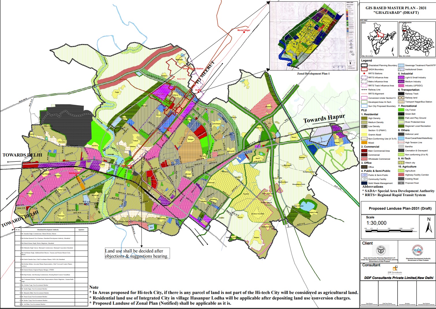 Disclaimer: The above map only highlights the proposed development in Ghaziabad region. It does not include developments drafted for Loni, Muradnagar and Modi Nagar areas.
Also read: Latest circle rates in Ghaziabad
Ghaziabad Master Plan 2031: Land use and distribution
The Master Plan 2031 is designed to balance Ghaziabad's rapid growth with sustainable land use. It aims to ensure well-around residential, commercial, and transit-oriented development.
The land distribution across the regions is as follows:
| Land use | Ghaziabad (in ha) | Modinagar (in ha) | Loni (in ha) | Total (percentage) |
|---|---|---|---|---|
| Residential | 7,634 | 2,188.90 | 3,050.20 | 39.8 |
| Commercial | 430.8 | 202.1 | 69.9 | 2.2 |
| Mixed | 490.4 | 97.2 | 0 | 1.8 |
| Industrial | 2,109.80 | 573.9 | 766.6 | 10.7 |
| Office-space | 528.1 | 99.5 | 18.8 | 2 |
| Private and semi-private | 1,078.10 | 759 | 3,106.60 | 6.6 |
| Entertainment | 3,223.80 | 2161.9 | 968.5 | 19.7 |
| Transport | 2362.3 | 1,107.70 | 659.5 | 12.8 |
| Non confirming | 444.7 | 0 | 963.6 | 4.4 |
Source: Ghaziabad Development Authority
 Could the article help you understand the topic?
Ghaziabad Master Plan 2031: Impact on real estate
The Ghaziabad Master Plan 2031 is expected to benefit real estate across the city. Areas, such as Duhai and Raj Nagar Extension, will experience enhanced growth due to its proximity to Duhai RRTS Depot. Special Development Area in Loni will open opportunities for new housing projects and boost demand for residential properties. Areas along expressways and highways will also be brought under development, offering higher returns for developers and investors. Overall, the development proposed in the master plan will improve connectivity and transportation of the select areas. It will, in turn, help to improve demand and supply in the realty market.
In a nutshell, the Ghaziabad master plan 2031 is a comprehensive plan focusing on the city's overall development with efficient, sustainable growth. The plan is drafted to meet the demands of an increasing population with better infrastructure, transportation and housing spearheading the initiative. After receiving objections and making several revisions, the plan is awaiting final nod from State government to transform the future of Ghaziabad.


